Euphrates River: GAP Hydroelectric Project, Keban Reservoir & Shatt al-Arab
Western Asia's longest river flows 1,740 miles across Turkey, Syria, and Iraq, heavily altered by Turkey's 22-dam Southeastern Anatolia Project (GAP) and Keban Dam.
Recently published research articles, cartographic updates, and hydrological profiles in chronological order.
Western Asia's longest river flows 1,740 miles across Turkey, Syria, and Iraq, heavily altered by Turkey's 22-dam Southeastern Anatolia Project (GAP) and Keban Dam.
The 1,755-mile Heilong Jiang / Amur forms the untamed international boundary between Russia and northeastern China, harboring giant Kaluga sturgeon and Pacific salmon.
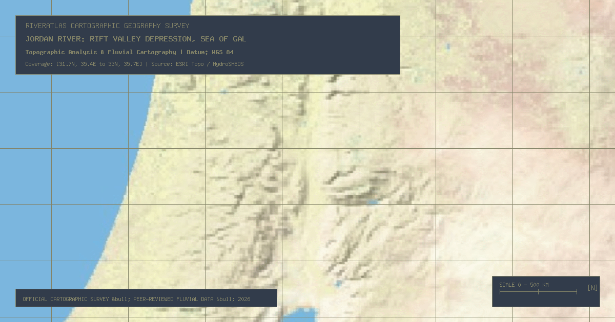
Flowing 156 miles through the Great Rift Valley to the lowest land elevation on Earth (-430m at the Dead Sea), the Jordan River is severely depleted by regional irrigation.
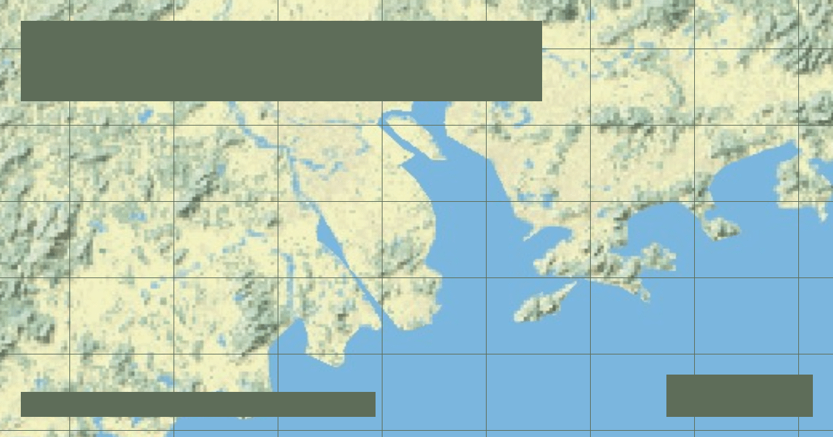
Formed by the Xi, Bei, and Dong rivers, the 1,491-mile Pearl River sustains the world's largest megacity delta (Guangzhou-Shenzhen-Hong Kong) and extensive tidal channels.
India's second-longest river flows 910 miles from Maharashtra's Western Ghats across the Deccan Plateau, terminating in a massive mangrove delta on the Bay of Bengal.
Rising at Mahabaleshwar at 4,385 feet, the 870-mile Krishna drives heavy Deccan agriculture through giant multi-stage impoundments like Almatti and Nagarjuna Sagar.
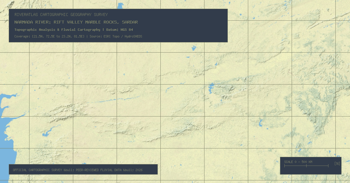
Flowing 815 miles west through a dramatic tectonic rift valley between the Vindhya and Satpura ranges, the Narmada passes the Marble Rocks gorge to the Arabian Sea.
Flowing 231 miles through Thailand's central alluvial plain, the River of Kings sustains Bangkok while facing critical challenges from ground subsidence and monsoon storm surges.
China's longest inland river flows 1,260 miles skirting the Taklamakan Desert sands, sustaining ancient desert poplar forests before dissipating in terminal salt basins.
Comparing the two great arms of the Nile: the White Nile's steady equatorial swamp drainage versus the Blue Nile's violent Ethiopian monsoon floods that provide 85% of downstream water.
West Africa's principal waterway flows 2,600 miles in a bizarre crescent shape away from the Atlantic into the Sahara desert before bending back to the Gulf of Guinea.
Sourced in the wet Angolan highlands, the 1,000-mile Okavango River spreads across the arid Kalahari Desert sands to form a 15,000 km² endorheic inland wetland paradise.
The RiverAtlas uses essential cookies and local preferences to provide interactive cartography and analyze content usage according to our privacy guidelines.