Amur River: Sino-Russian Wild Borderland, Siberian Salmon & Sea of Okhotsk
The 1,755-mile Heilong Jiang / Amur forms the untamed international boundary between Russia and northeastern China, harboring giant Kaluga sturgeon and Pacific salmon.
Scientific and exploratory examinations of river courses, headwaters, and catchment basins.
The 1,755-mile Heilong Jiang / Amur forms the untamed international boundary between Russia and northeastern China, harboring giant Kaluga sturgeon and Pacific salmon.
India's second-longest river flows 910 miles from Maharashtra's Western Ghats across the Deccan Plateau, terminating in a massive mangrove delta on the Bay of Bengal.
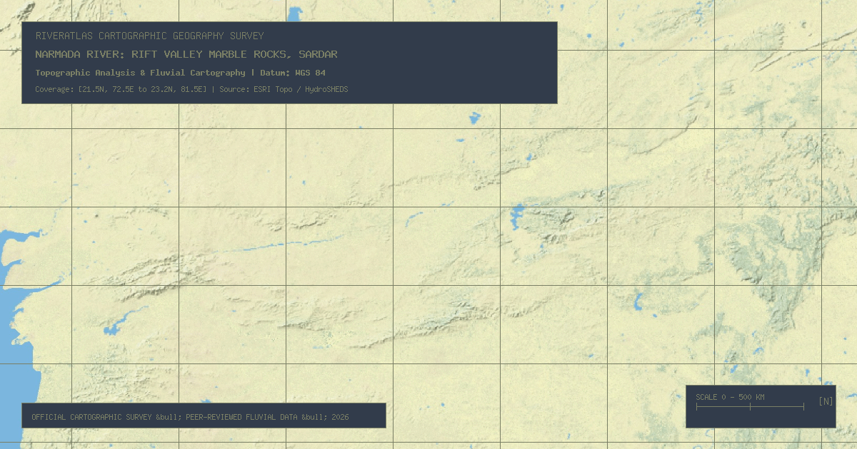
Flowing 815 miles west through a dramatic tectonic rift valley between the Vindhya and Satpura ranges, the Narmada passes the Marble Rocks gorge to the Arabian Sea.
West Africa's principal waterway flows 2,600 miles in a bizarre crescent shape away from the Atlantic into the Sahara desert before bending back to the Gulf of Guinea.
South Africa's longest river rises in the snow-dusted Drakensberg mountains of Lesotho, plunging over the 184-foot Augrabies granite cataract on its 1,367-mile desert course to the Atlantic.
Stretching 1,338 miles from Angola into the DRC, the Kasai delivers an astonishing 10,000 m³/s to the Congo River while churning alluvial gem diamond deposits along its gravel bars.
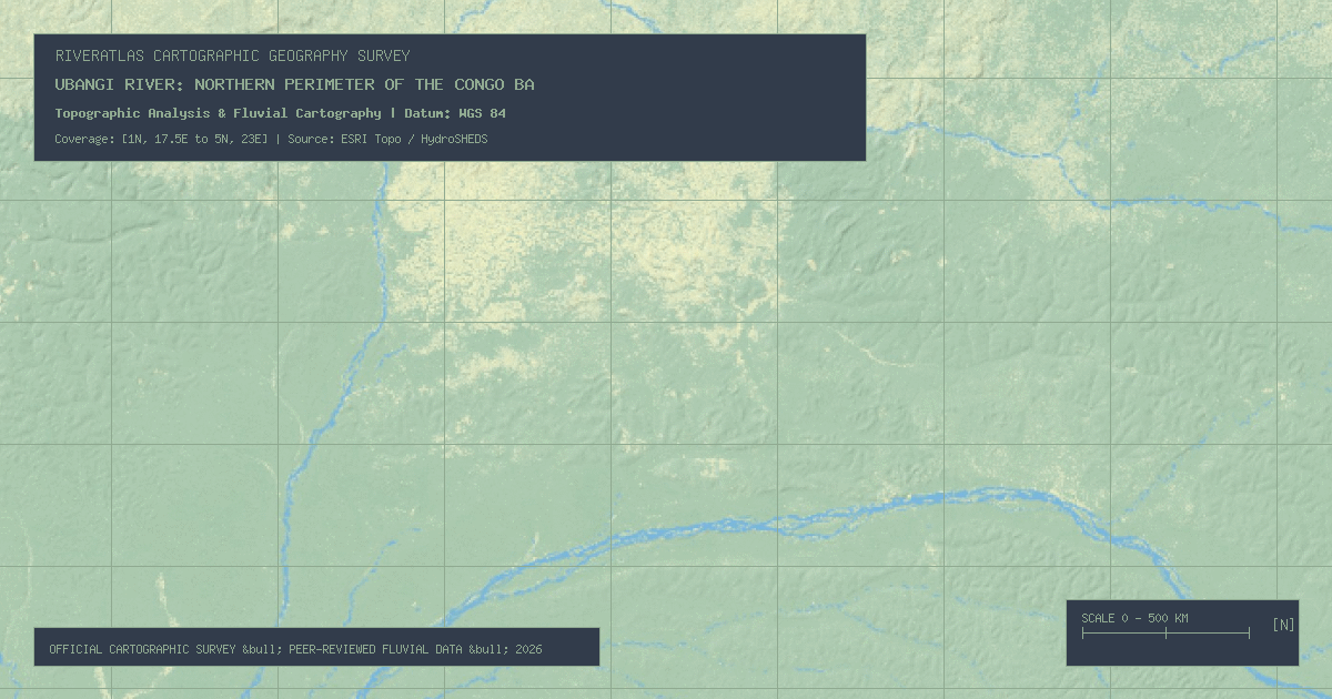
Forming the border between the DRC, the Republic of the Congo, and the CAR for 1,410 miles, the Ubangi is the largest right-bank tributary of the Congo River system.
Flowing 264 miles across the North Island of New Zealand, the Waikato drains Lake Taupo's volcanic caldera, coursing through the crashing cyan waters of Huka Falls.
The RiverAtlas uses essential cookies and local preferences to provide interactive cartography and analyze content usage according to our privacy guidelines.