
Arkansas River: Rocky Mountain Headwaters to McClellan-Kerr Navigation Corridor
Descending from 14,000-foot Colorado peaks to Arkansas floodplains over 1,469 miles, the Arkansas River powers one of America's premier interior industrial barge networks.
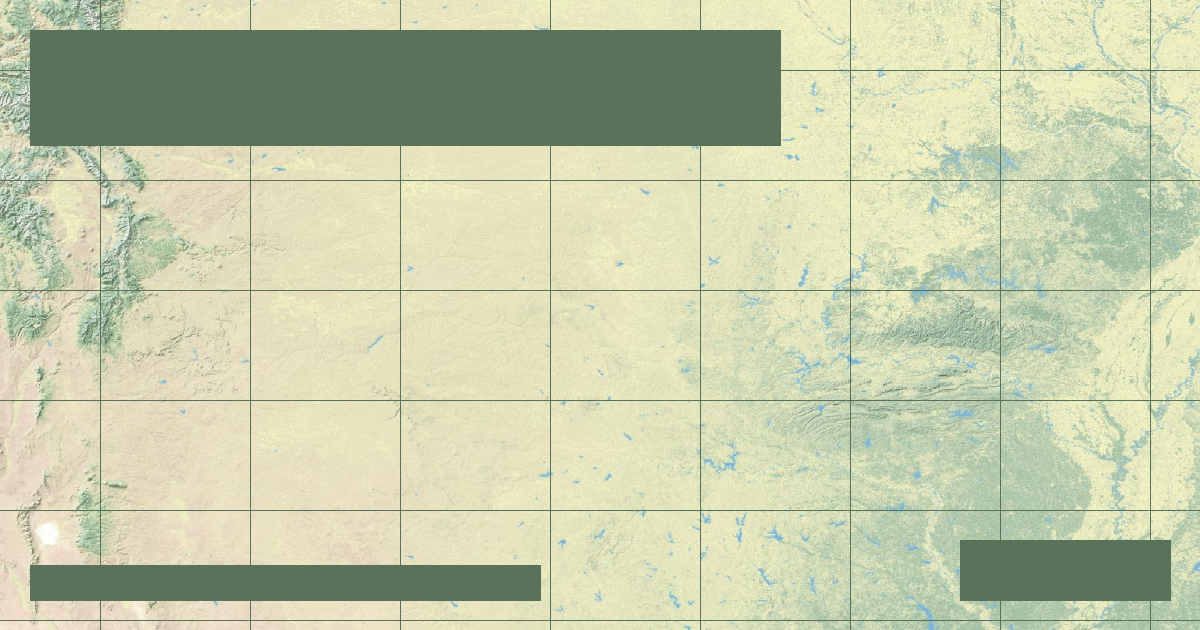
Flowing **1,469 miles (2,364 kilometers)** through Colorado, Kansas, Oklahoma, and Arkansas, the **Arkansas River** is the second-longest tributary in the Mississippi River drainage system. It drains an area of **161,000 square miles (417,000 km²)**.
### Alpine Origins & Royal Gorge
The Arkansas originates high in the Sawatch Range of the Colorado Rockies near Leadville at over 10,000 feet. It flows through steep mountain canyons, slicing through ancient pre-Cambrian granite at the **Royal Gorge**, where 1,000-foot vertical cliffs attract white-water rafters and hydrologists alike.
### McClellan-Kerr Arkansas River Navigation System (MKARNS)
The lower 445 miles of the river—between Catoosa near Tulsa, Oklahoma, and the Mississippi River—is channelized into the **McClellan-Kerr Arkansas River Navigation System (MKARNS)**:
- Includes **18 locks and dams** creating a stepped water staircase.
- Provides ice-free commercial access for bulk grains, agricultural fertilizers, and petroleum products to deepwater ocean ports on the Gulf.
*Data Source: US Army Corps of Engineers Little Rock District & USGS Arkansas Basin Office.*
Founder & Platform Administrator • The RiverAtlas Geographic Publishing Unit
Ammy Saini is the founder, chief administrator, and lead curator of The RiverAtlas (theriveratlas.info), directing global river hydrography, cartographic mapping datasets, and geographic publication integrity.
Related Geographical Research
Why the Mississippi River Wants to Shift to the Atchafalaya: The Old River Control Structure
How the US Army Corps of Engineers fights physics and fluvial avulsion to prevent the Mississippi River from abandoning New Orleans and Baton Rouge.
The Thames Barrier: Engineering Civil Protections for Tidal River Surges
How London protects 1.4 million residents and £321 billion in property from catastrophic North Sea storm surges using rotating steel gates.

Columbia River: Hydropower Cascades, Grand Coulee Dam & Pacific Salmon Run
Draining the Pacific Northwest, the Columbia River generates over 40% of US hydroelectric power through Grand Coulee and Bonneville while confronting severe anadromous salmon crises.