
Why the Mississippi River Wants to Shift to the Atchafalaya: The Old River Control Structure
How the US Army Corps of Engineers fights physics and fluvial avulsion to prevent the Mississippi River from abandoning New Orleans and Baton Rouge.
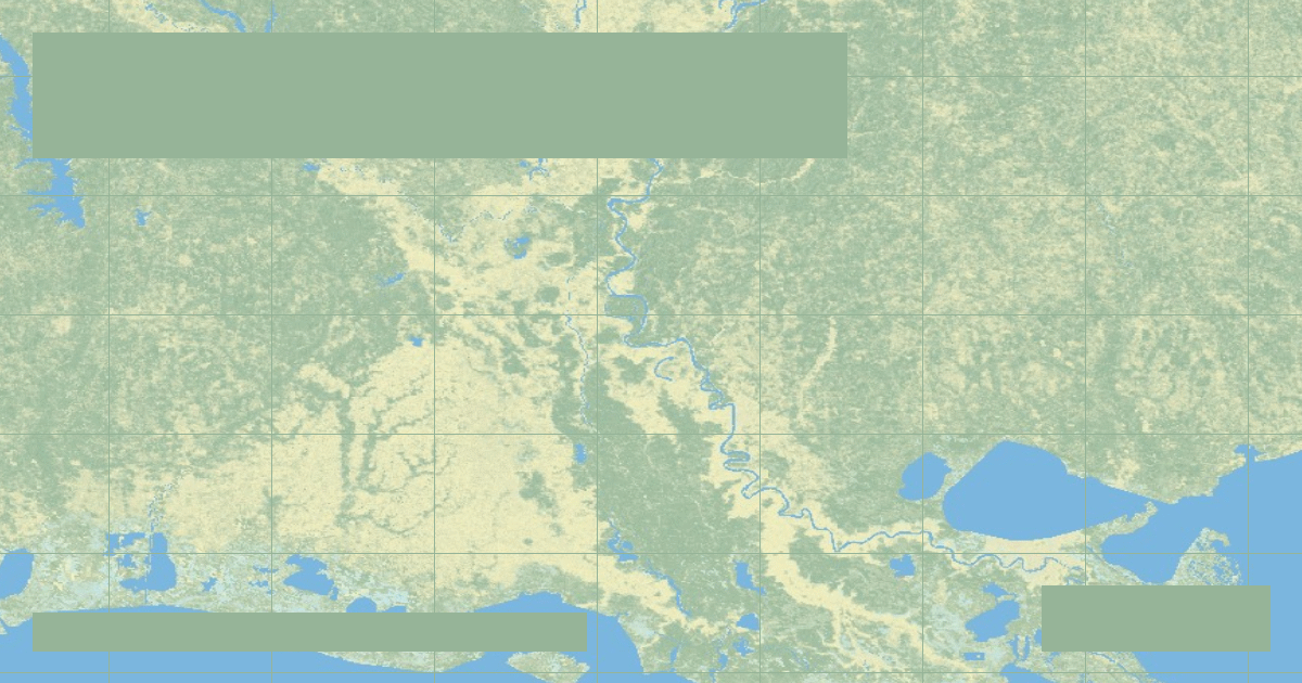
Rivers are lazy physical systems: water follows the steepest, most direct gravitational route to the sea. Over centuries, a meandering delta river deposits sediment at its mouth, building out a long, shallow pathway that gradually loses its gradient.
In the lower Mississippi River valley, the river has created such a long, sluggish loop past Baton Rouge and New Orleans (over 300 miles to the Gulf) that another river—the **Atchafalaya River**—offers a path to the Gulf of Mexico that is **over 150 miles shorter and more than twice as steep**.
### The Catastrophic Avulsion Threat
Left to natural physical laws, the Mississippi River would have naturally jumped its banks and permanently captured the Atchafalaya channel by the early 1970s. Had this occurred:
* The ports of New Orleans and Baton Rouge would become stagnant saltwater tidal estuaries, crippling US agricultural grain exports.
* Highway and railway bridges across Louisiana would be swept away.
### The Old River Control Structure
To prevent this economic catastrophe, the US Congress authorized the US Army Corps of Engineers to construct the colossal **Old River Control Structure** in 1963. By federal law, exactly 70 percent of the combined flow must continue down the Mississippi mainstem, while 30 percent is diverted through gates into the Atchafalaya.
Founder & Platform Administrator • The RiverAtlas Geographic Publishing Unit
Ammy Saini is the founder, chief administrator, and lead curator of The RiverAtlas (theriveratlas.info), directing global river hydrography, cartographic mapping datasets, and geographic publication integrity.
Related Geographical Research

The Thames Barrier: Engineering Civil Protections for Tidal River Surges
How London protects 1.4 million residents and £321 billion in property from catastrophic North Sea storm surges using rotating steel gates.

Columbia River: Hydropower Cascades, Grand Coulee Dam & Pacific Salmon Run
Draining the Pacific Northwest, the Columbia River generates over 40% of US hydroelectric power through Grand Coulee and Bonneville while confronting severe anadromous salmon crises.
Ohio River: Industrial Navigation, 20 Locks and Dams & Mississippi Confluence
Formed by the Allegheny and Monongahela in Pittsburgh, the 981-mile Ohio River contributes more volume to the Mississippi River than the Missouri, sustained by 20 modern lock and dam facilities.