
Ohio River: Industrial Navigation, 20 Locks and Dams & Mississippi Confluence
Formed by the Allegheny and Monongahela in Pittsburgh, the 981-mile Ohio River contributes more volume to the Mississippi River than the Missouri, sustained by 20 modern lock and dam facilities.
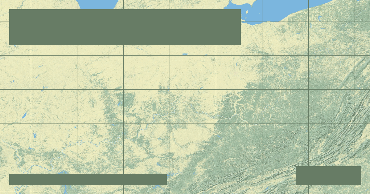
Formed at the historic Point in downtown Pittsburgh, Pennsylvania, by the confluence of the **Allegheny** and **Monongahela** rivers, the **Ohio River** flows **981 miles (1,579 kilometers)** southwest to join the Mississippi River at Cairo, Illinois. Draining a heavily forested, rain-abundant basin of 203,940 square miles (528,200 km²), the Ohio is the largest tributary by volume of the entire Mississippi River system.
### Disproportionate Hydrological Contribution
Although the Missouri River is nearly 2.4 times longer than the Ohio, the Ohio delivers far more water. At Cairo, Illinois, the Ohio River discharges an average of **281,000 cubic feet per second (7,960 m³/s)** into the Mississippi, providing over **60% of the combined Mississippi flow** south of the confluence during high-water seasons.
### The 20 Modern Navigation Chambers
To ensure a continuous 9-foot navigation draft for heavy industrial barges carrying coal, steel, aggregates, and agricultural bulk, the US Army Corps of Engineers replaced 51 historic low-lift wooden chanoine wicket dams with **20 high-lift modern lock and dam facilities**, including the colossal Olmsted Locks and Dam near the river mouth.
*Data Source: US Army Corps of Engineers Great Lakes and Ohio River Division & USGS Cairo Gauging Station.*
Founder & Platform Administrator • The RiverAtlas Geographic Publishing Unit
Ammy Saini is the founder, chief administrator, and lead curator of The RiverAtlas (theriveratlas.info), directing global river hydrography, cartographic mapping datasets, and geographic publication integrity.
Related Geographical Research
Why the Mississippi River Wants to Shift to the Atchafalaya: The Old River Control Structure
How the US Army Corps of Engineers fights physics and fluvial avulsion to prevent the Mississippi River from abandoning New Orleans and Baton Rouge.

The Thames Barrier: Engineering Civil Protections for Tidal River Surges
How London protects 1.4 million residents and £321 billion in property from catastrophic North Sea storm surges using rotating steel gates.

Columbia River: Hydropower Cascades, Grand Coulee Dam & Pacific Salmon Run
Draining the Pacific Northwest, the Columbia River generates over 40% of US hydroelectric power through Grand Coulee and Bonneville while confronting severe anadromous salmon crises.