
Missouri River: Three Forks Headwaters, Fort Peck Dam & 2,341-Mile Course
America's longest river spans 2,341 miles from Montana's Three Forks to St. Louis, driving Great Plains agriculture, six giant Pick-Sloan mainstem dams, and massive sediment transport.
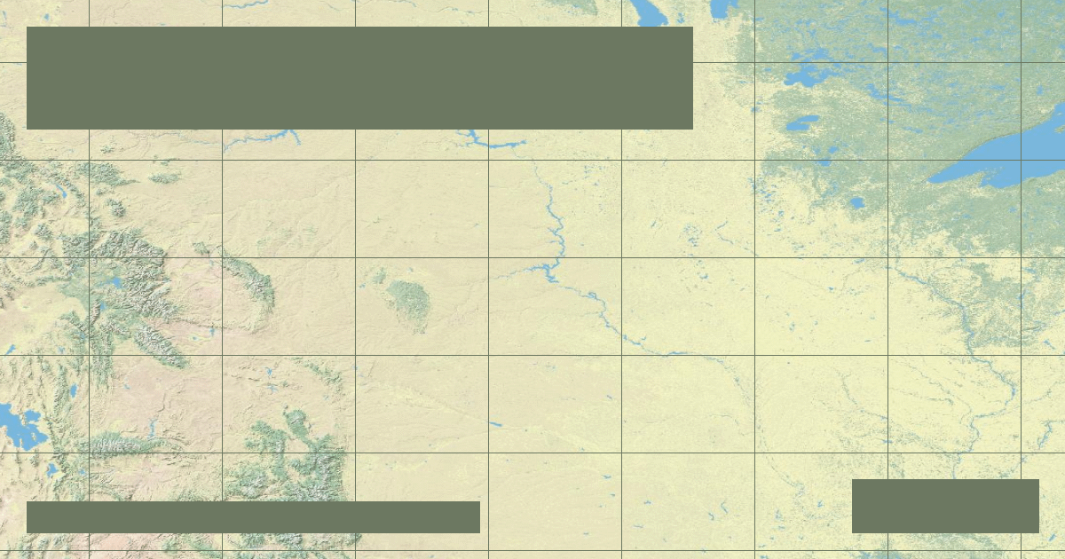
The **Missouri River** is the longest river in the United States and North America, spanning **2,341 miles (3,767 kilometers)** from the glaciated valleys of southwestern Montana to its confluence with the Mississippi River near St. Louis, Missouri. Often referred to by historical cartographers and Indigenous tribes as the *\'Big Muddy\'*, the Missouri drains approximately one-sixth of the contiguous United States, encompassing 529,350 square miles (1,371,000 km²).
### Three Forks Headwaters & Tectonic Setting
The Missouri River officially originates at Three Forks, Montana, within Gallatin County, at an elevation of 4,045 feet (1,233 meters). Here, three distinct Rocky Mountain rivers unite:
1. **The Jefferson River:** Originating furthest upstream near Brower\'s Spring on the Continental Divide.
2. **The Madison River:** Flowing from northern Yellowstone National Park through scenic basalt canyons.
3. **The Gallatin River:** Sourced in the glaciated Gallatin Range.
### Pick-Sloan Program & Mainstem Reservoirs
Following catastrophic flooding throughout the 1940s, the US Congress enacted the Flood Control Act of 1944, creating the **Pick-Sloan Missouri Basin Program**. The US Army Corps of Engineers constructed six colossal rolled-earth embankment dams across the mainstem:
| Dam Name | State Location | Impounded Reservoir | Normal Storage Capacity | Completed Year |
| :--- | :--- | :--- | :--- | :--- |
| **Fort Peck Dam** | Montana | Fort Peck Lake | 18,700,000 acre-feet | 1940 |
| **Garrison Dam** | North Dakota | Lake Sakakawea | 23,800,000 acre-feet | 1953 |
| **Oahe Dam** | South Dakota | Lake Oahe | 23,100,000 acre-feet | 1962 |
| **Big Bend Dam** | South Dakota | Lake Sharpe | 1,900,000 acre-feet | 1966 |
| **Fort Randall Dam** | South Dakota | Lake Francis Case | 5,700,000 acre-feet | 1956 |
| **Gavins Point Dam** | Nebraska/SD border | Lewis and Clark Lake | 470,000 acre-feet | 1957 |
### Fluvial Hydrology and Sediment Depletion
Historically, the natural Missouri transported more than **320 million tons of suspended silt and sand** annually into the Mississippi system. The Pick-Sloan dams have trapped over 90% of this fluvial sediment load, clear-watering the downstream reaches, armoring channel bedload, and depriving the Louisiana coastal delta of essential building sediment.
*Data Source: United States Geological Survey (USGS) Water-Data Report & US Army Corps of Engineers Northwestern Division.*
Founder & Platform Administrator • The RiverAtlas Geographic Publishing Unit
Ammy Saini is the founder, chief administrator, and lead curator of The RiverAtlas (theriveratlas.info), directing global river hydrography, cartographic mapping datasets, and geographic publication integrity.
Related Geographical Research
Top 10 Longest Rivers in the United States (Ranked by Length & Discharge)
A definitive geographic ranking of America's longest waterways, exploring the Missouri-Mississippi system, Yukon, Rio Grande, and Columbia basins.
The Grand Canyon Fluvial Mechanics: How the Colorado River Carved a Continental Wonder
A geological examination of antecedent stream incision, Colorado Plateau tectonic uplift, and abrasive bedload hydraulics across 6 million years.
The Congo River: Deepest Canyon Trenches and Equatorial Hydrology
Why the Congo reaches staggering depths exceeding 220 meters and how its dual equatorial crossing creates a remarkably steady year-round discharge.