
The Congo River: Deepest Canyon Trenches and Equatorial Hydrology
Why the Congo reaches staggering depths exceeding 220 meters and how its dual equatorial crossing creates a remarkably steady year-round discharge.
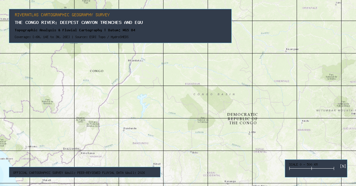
While the Amazon dominates global discharge volume and the Nile claims the greatest linear extent, the **Congo River** (historically the Zaire) holds the definitive title of Earth's deepest river. Bathymetric surveys conducted by hydrologists utilizing acoustic Doppler current profilers (ADCP) have recorded subterranean canyon trenches plunging beyond **220 meters (720 feet)** below the surface in the Lower Congo rapids.
### The Dual Equatorial Crossing
The Congo is the only major river system on Earth that crosses the equator twice. As precipitation patterns oscillate across the Intertropical Convergence Zone (ITCZ):
1. Tributaries north of the equator (such as the Ubangi) experience their peak monsoon discharge during the northern hemisphere wet season.
2. Tributaries south of the equator (such as the Kasai) peak six months later during the southern hemisphere rainy season.
This counter-cyclical hydrological mechanism produces the most remarkably consistent seasonal flow of any major continental river, averaging **41,000 m³/s** where it empties into the Atlantic Ocean.
### The Inga Falls Hydroelectric Potential
Between Kinshasa and the Atlantic port of Matadi, the river plunges 280 meters across 350 kilometers of terrifying cataracts known as Livingstone Falls. This concentrated drop represents the single greatest hydroelectric potential on the planet.
Founder & Platform Administrator • The RiverAtlas Geographic Publishing Unit
Ammy Saini is the founder, chief administrator, and lead curator of The RiverAtlas (theriveratlas.info), directing global river hydrography, cartographic mapping datasets, and geographic publication integrity.
Related Geographical Research
Top 10 Longest Rivers in the United States (Ranked by Length & Discharge)
A definitive geographic ranking of America's longest waterways, exploring the Missouri-Mississippi system, Yukon, Rio Grande, and Columbia basins.
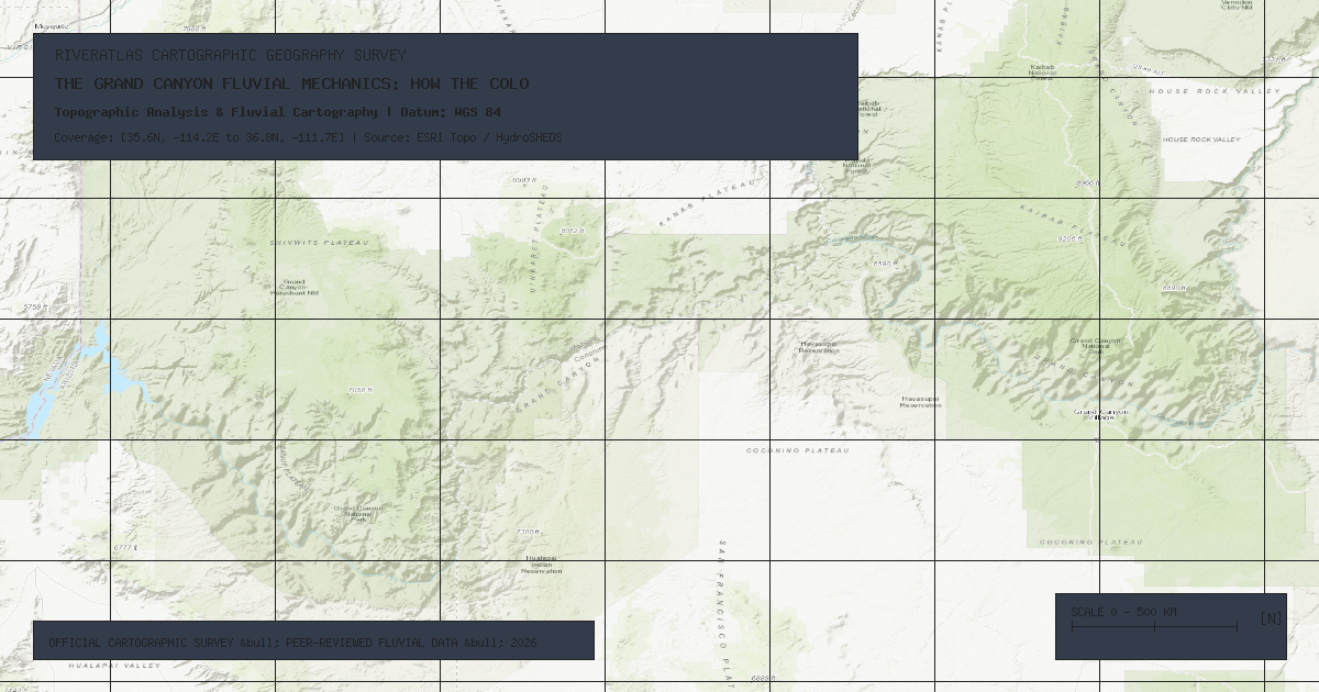
The Grand Canyon Fluvial Mechanics: How the Colorado River Carved a Continental Wonder
A geological examination of antecedent stream incision, Colorado Plateau tectonic uplift, and abrasive bedload hydraulics across 6 million years.

The Indus Waters Treaty: 60 Years of Transboundary Hydro-Diplomacy
How India and Pakistan have successfully maintained a World Bank-brokered water treaty across wars, climatic stress, and glacial retreat.