
Why the Volga Empties into an Inland Lake: Geography of the Endorheic Caspian Basin
Exploring the hydrology of terminal drainage basins, negative elevation sinks, and why Europe's longest river never reaches the world ocean.

Most continental rivers terminate in an ocean, bay, or marginal sea connected to the global water system. However, the **Volga River**—the longest waterway in Europe at 3,530 kilometers—drains into the **Caspian Sea**, a completely landlocked terminal saline lake sitting 28 meters below global sea level.
### What Is an Endorheic Basin?
An endorheic basin is a closed drainage catchment that retains water and allows no outflow to external bodies of water. Water that enters an endorheic basin can only leave via evaporation, seepage, or human consumption.
### The Water Balance of the Caspian Sea
The Volga contributes over **80% of all surface freshwater** entering the Caspian Sea. Because the lake has no ocean outlet, its surface level fluctuates entirely based on the mathematical balance between Volga river discharge and atmospheric evaporation. During hot dry decades, the Caspian recedes dramatically, exposing shallow shipping channels in the northern delta.
Founder & Platform Administrator • The RiverAtlas Geographic Publishing Unit
Ammy Saini is the founder, chief administrator, and lead curator of The RiverAtlas (theriveratlas.info), directing global river hydrography, cartographic mapping datasets, and geographic publication integrity.
Related Geographical Research
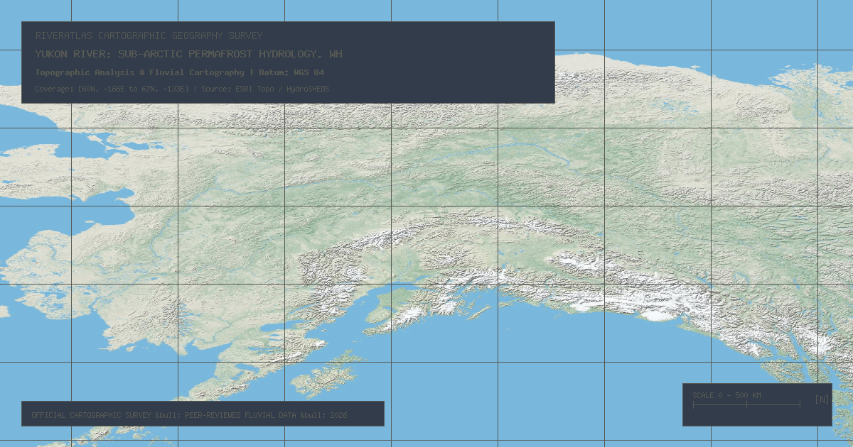
Yukon River: Sub-Arctic Permafrost Hydrology, Whitehorse Rapids & Bering Sea Outflow
Flowing 1,979 miles through northwestern Canada and Alaska into the Bering Sea, the Yukon River represents one of the largest untamed sub-Arctic watershed ecosystems on Earth.

Hudson River: Tidal Estuary Dynamics, Adirondack High Peaks & Hudson Canyon
Rising from Lake Tear of the Clouds at 4,293 feet to New York Harbor, the Hudson functions for 153 miles as a brackish tidal fjord shaped by ancient glaciation.
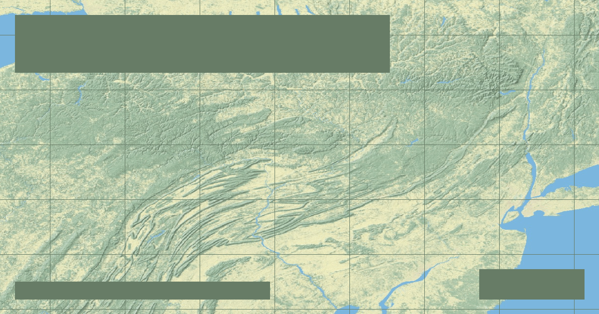
Susquehanna River: Ancient Bedrock Trenches & Chesapeake Bay Silt Influx
Flowing 444 miles over ancient Paleozoic bedrock, the Susquehanna delivers over 50% of all freshwater entering the ecologically vital Chesapeake Bay.