
Amazon vs Nile: Resolving the Scientific Debate on the World's Longest River
Why measuring a river's precise length is far more complex than determining mountain heights, and how modern satellite telemetry has reopened the historic Amazon-Nile rivalry.
Unlike calculating the summit elevation of Mount Everest, defining the exact length of a continental river system is fraught with methodological challenges. Rivers are dynamic, meandering physical systems whose outer channels expand, shift, and braided during seasonal flood pulses.
Two fundamental questions dictate river measurement:
1. **Where does a river truly originate?** Is it the source of the longest continuous tributary, or the stream with the highest volumetric discharge?
2. **Where does a river end?** In vast estuarine systems like the Amazon delta or the Nile delta, defining where the river mouth terminates and where the ocean begins requires precise salinity and bathymetric thresholds.
### The Case for the Nile (6,650 km)
The Nile has traditionally held the title of the world's longest river in modern geography curricula. Measured from the headwaters of the Luvironza (Ruvyironza) River in Burundi, the Nile courses north through Lake Victoria, the extensive swamps of the Sudd in South Sudan, and across Egypt to the Mediterranean Sea.
### The Amazon's Contested Headwaters
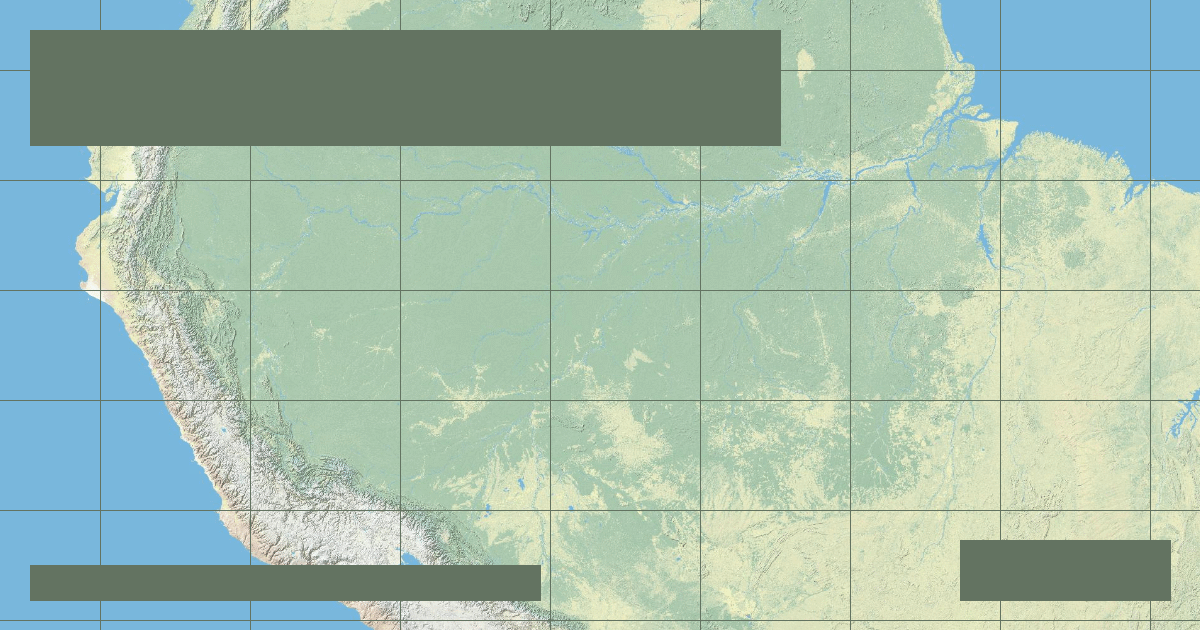
In 2007 and 2008, satellite-assisted geodetic expeditions led by Brazilian and international researchers investigated the southern headwaters of the Amazon. They traced the furthest continuous upstream flow beyond the traditional Río Apurímac to the Carhuasanta and Apacheta streams on the slopes of Nevado Mismi in southern Peru.
Under this measurement scheme, including the tidal channels that wrap south of Marajó Island, researchers calculated an Amazon length of approximately 6,992 km. However, international cartographic bodies require peer-reviewed consensus and standardized global criteria before updating official geographic reference catalogs.
### Discharge Volume: An Undisputed Giant
While the contest over length remains open, there is zero ambiguity regarding volumetric discharge. The Amazon River discharges an astonishing **209,000 cubic meters per second (m³/s)** into the Atlantic—more than the combined volume of the world's next seven largest rivers.
Founder & Platform Administrator • The RiverAtlas Geographic Publishing Unit
Ammy Saini is the founder, chief administrator, and lead curator of The RiverAtlas (theriveratlas.info), directing global river hydrography, cartographic mapping datasets, and geographic publication integrity.
Related Geographical Research
Top 10 Longest Rivers in the United States (Ranked by Length & Discharge)
A definitive geographic ranking of America's longest waterways, exploring the Missouri-Mississippi system, Yukon, Rio Grande, and Columbia basins.
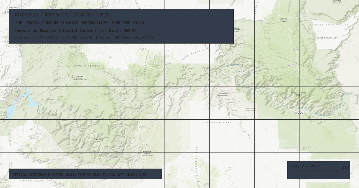
The Grand Canyon Fluvial Mechanics: How the Colorado River Carved a Continental Wonder
A geological examination of antecedent stream incision, Colorado Plateau tectonic uplift, and abrasive bedload hydraulics across 6 million years.
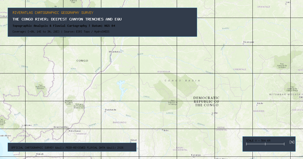
The Congo River: Deepest Canyon Trenches and Equatorial Hydrology
Why the Congo reaches staggering depths exceeding 220 meters and how its dual equatorial crossing creates a remarkably steady year-round discharge.