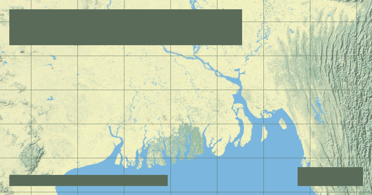
How Himalayan tectonic erosion feeds a colossal delta of 105,000 square kilometers, nurturing the Sundarbans mangrove wilderness and the Bengal submarine fan.
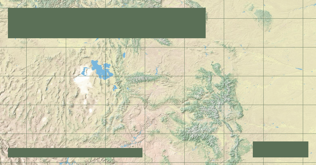
How topographers delimit river catchment areas using digital elevation models (DEMs) and why drainage basins are the natural unit for environmental management.
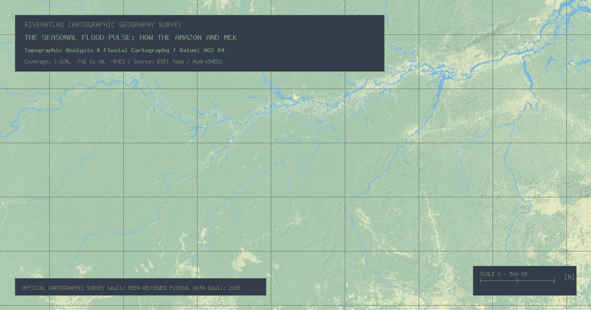
Why measuring a river's precise length is far more complex than determining mountain heights, and how modern satellite telemetry has reopened the historic Amazon-Nile rivalry.
Ammy SainiAdmin
Privacy & Cookie Notice
The RiverAtlas uses essential cookies and local preferences to provide interactive cartography and analyze content usage according to our privacy guidelines.