
How River Deltas Form: Arcuate, Bird-Foot, and Cuspate Coastal Geomorphology
A visual cartographer's guide to sediment deposition, wave energy equilibrium, and identifying the three principal deltaic landforms.

When a sediment-laden river enters a standing body of water like an ocean or lake, its forward velocity plummets instantly. Unable to carry heavy sands and gravels, the river drops its sediment load, forming a prograding coastal landform called a **delta** (named by Herodotus after the Greek triangular letter Δ).
### The Three Classic Delta Classifications:
1. **Arcuate Deltas (Fan-Shaped):**
* *Example:* **Nile Delta** and **Danube Delta**.
* *Dynamics:* Formed where moderate wave energy smoothly sweeps sediment into a symmetrical, outward-bowed shoreline.
2. **Bird-Foot Deltas (Digitate):**
* *Example:* **Mississippi River Delta**.
* *Dynamics:* Formed where river sediment transport overwhelms weak coastal waves and tides, pushing narrow distributary channels (levee fingers) far out into the ocean.
3. **Cuspate Deltas (Tooth-Shaped):**
* *Example:* **Tiber River (Rome)** and **Ebro River (Spain)**.
* *Dynamics:* Formed where strong, perpendicular ocean waves batter the river mouth, shaping deposited sand into sharp, pointed triangular projections.
Founder & Platform Administrator • The RiverAtlas Geographic Publishing Unit
Ammy Saini is the founder, chief administrator, and lead curator of The RiverAtlas (theriveratlas.info), directing global river hydrography, cartographic mapping datasets, and geographic publication integrity.
Related Geographical Research
Strahler Stream Order Explained: How Hydrologists Classify River Branches
A clear mathematical explanation of the Horton-Strahler topological hierarchy used in GIS cartography and watershed conservation.
Understanding Drainage Basins and Watershed Divides: A Cartographic Guide
How topographers delimit river catchment areas using digital elevation models (DEMs) and why drainage basins are the natural unit for environmental management.
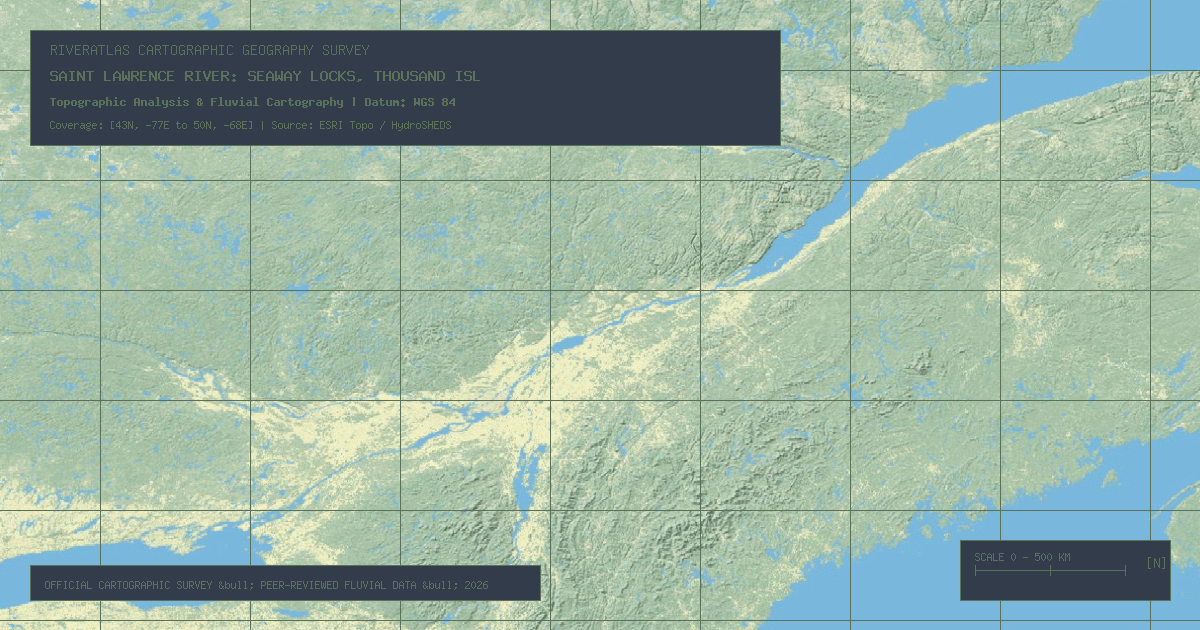
Saint Lawrence River: Seaway Locks, Thousand Islands & Atlantic Inflow
Connecting the Laurentian Great Lakes to the Gulf of St. Lawrence, this 744-mile transboundary waterway drains 21% of the world's surface fresh water through a deep tectonic rift valley.