
Understanding Drainage Basins and Watershed Divides: A Cartographic Guide
How topographers delimit river catchment areas using digital elevation models (DEMs) and why drainage basins are the natural unit for environmental management.
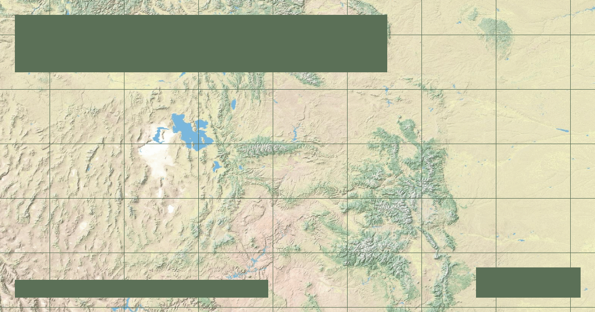
A drainage basin—often termed a watershed or catchment area—is an area of land where all precipitation collects and drains into a common body of water, such as a river, lake, or ocean.
### Topographic Ridges and Continental Divides
Basins are separated from one another by natural ridgelines called drainage divides. In North America, the Continental Divide runs along the Rocky Mountains: raindrops falling to the west eventually flow to the Pacific Ocean, while rain falling to the east flows to the Atlantic or Arctic oceans.
### Digital Elevation Models (DEMs) in Modern Cartography
Modern cartographers at organizations like RiverAtlas and HydroSHEDS utilize satellite synthetic aperture radar (SAR) to create 30-meter and 90-meter digital elevation grids. Algorithms identify flow directions from every single grid cell to compute stream order and delineate basin boundaries with sub-meter accuracy.
### Transboundary Cooperation
Because river basins ignore political borders, managing them requires international treaties. The Danube River Basin, touching 19 nations, operates under the International Commission for the Protection of the Danube River (ICPDR), serving as a global model for shared freshwater stewardship.
Founder & Platform Administrator • The RiverAtlas Geographic Publishing Unit
Ammy Saini is the founder, chief administrator, and lead curator of The RiverAtlas (theriveratlas.info), directing global river hydrography, cartographic mapping datasets, and geographic publication integrity.
Related Geographical Research
Strahler Stream Order Explained: How Hydrologists Classify River Branches
A clear mathematical explanation of the Horton-Strahler topological hierarchy used in GIS cartography and watershed conservation.

How River Deltas Form: Arcuate, Bird-Foot, and Cuspate Coastal Geomorphology
A visual cartographer's guide to sediment deposition, wave energy equilibrium, and identifying the three principal deltaic landforms.
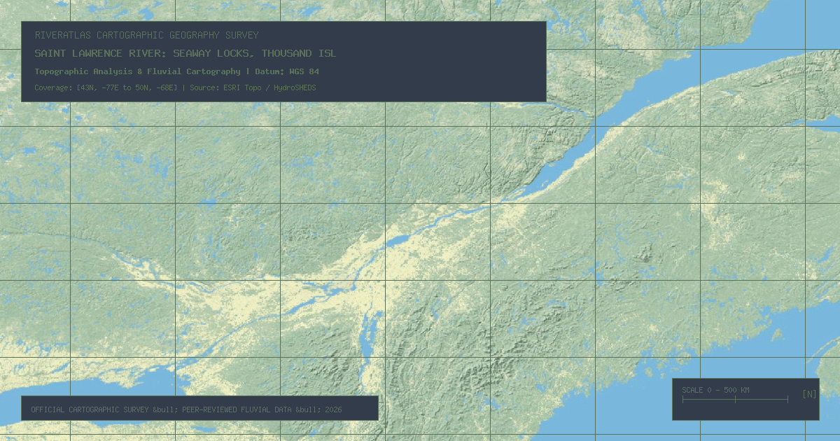
Saint Lawrence River: Seaway Locks, Thousand Islands & Atlantic Inflow
Connecting the Laurentian Great Lakes to the Gulf of St. Lawrence, this 744-mile transboundary waterway drains 21% of the world's surface fresh water through a deep tectonic rift valley.