
Danube River
Alternative / Indigenous / Local Names: Donau, Dunărea, Duna, Dunav, Dunaj
Europe's second-longest river and the world's most international waterway, flowing past four European capital cities before reaching the Black Sea.
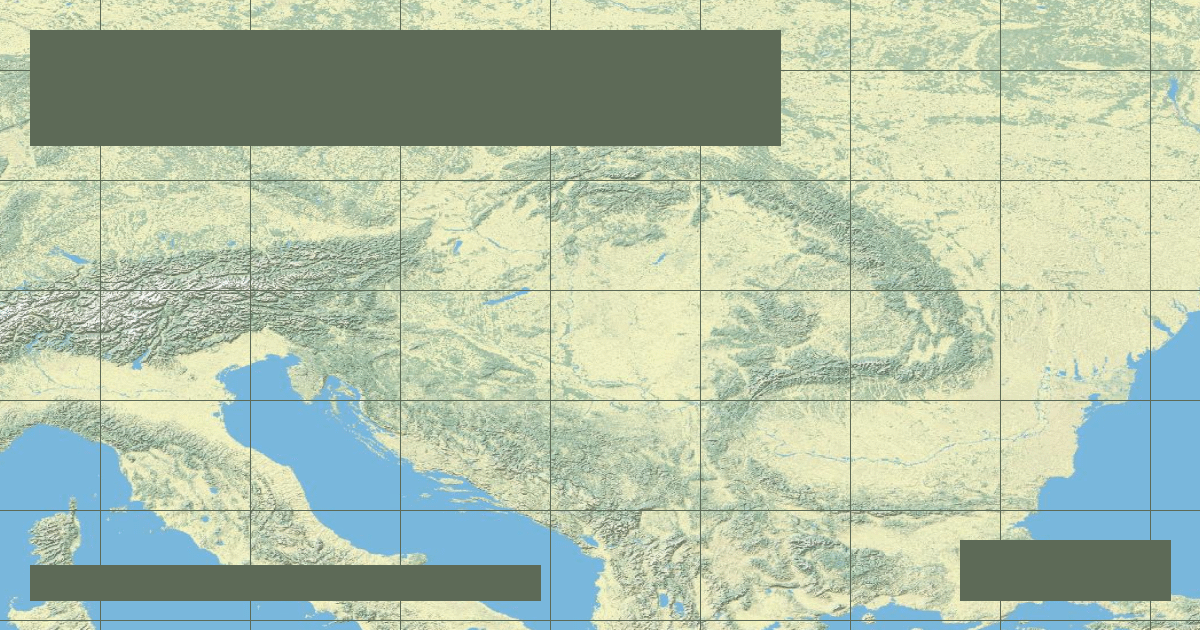
Verified Geographic & Hydrological Profile
ID: RVR-0003- Official Length
- 2,850 km (1,770 miles)
- Drainage Basin
- Danube Basin (801,463 km²)
- Average Discharge
- 6,500 m³/s (229,546 cu ft/s)
- Source / Headwaters
-
Confluence of Breg & Brigach (Donaueschingen, Germany)
(Elevation: 678 m / 2,224 ft)
Coords: 47.9500°, 8.5000°
- Mouth / Outflow
-
Black Sea via Danube Delta (Romania & Ukraine)
Coords: 45.2000°, 29.6500°
- Countries Traversed
- 🇩🇪 Germany (Primary) 🇦🇹 Austria 🇷🇴 Romania
Interactive River Course Map
Geographical Overview & Course
Length measured from the Breg headwaters near Furtwangen is 2,888 km; measured from the Donaueschingen palace fountain confluence is 2,850 km.
Ecological & Environmental Significance
The Danube Delta is Europe's best-preserved river delta, harboring over 300 bird species, 45 freshwater fish species, and vast reed beds under UNESCO World Heritage protection.
Economic Importance, Navigation & Human Settlement
Crucial pan-European inland navigation corridor connected to the Rhine via the Rhine-Main-Danube Canal, enabling barge traffic from the North Sea to the Black Sea.
Sources, Citations & Cartographic Methodology
- HydroSHEDS / HydroRIVERS Global River Database — Lehner, B. and Grill, G. (WWF & McGill University) (2019) • Access Source