
Nile River
Alternative / Indigenous / Local Names: Nahr an-Nīl, White Nile, Blue Nile
Historically recognized as the longest river in the world, traversing eleven countries from equatorial Africa to the Mediterranean Sea.
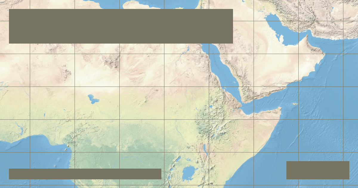
Verified Geographic & Hydrological Profile
ID: RVR-0002- Official Length
- 6,650 km (4,132 miles)
- Drainage Basin
- Nile Basin (3,254,555 km²)
- Average Discharge
- 2,830 m³/s (99,941 cu ft/s)
- Source / Headwaters
-
Lake Victoria outlet / Ruvyironza River (Burundi/Uganda)
(Elevation: 1,134 m / 3,720 ft)
Coords: -0.4167°, 33.1667°
- Mouth / Outflow
-
Mediterranean Sea (Damietta & Rosetta, Egypt)
Coords: 31.4667°, 31.8333°
- Countries Traversed
- 🇪🇬 Egypt (Primary) 🇺🇬 Uganda
Interactive River Course Map
Geographical Overview & Course
The accepted length of 6,650 km measures from the furthest headstream of the Kagera River in Burundi. Alternative measurements starting strictly at Lake Victoria's Jinja outlet yield approximately 5,600 km.
Ecological & Environmental Significance
Contains vital wetlands such as the Sudd in South Sudan, one of the world's largest freshwater swamps, supporting extensive migratory bird flyways and Nile crocodiles.
Economic Importance, Navigation & Human Settlement
Supplies 95% of Egypt's municipal and agricultural water. The Aswan High Dam generates significant hydroelectric power and regulates agricultural flood cycles.
Sources, Citations & Cartographic Methodology
- HydroSHEDS / HydroRIVERS Global River Database — Lehner, B. and Grill, G. (WWF & McGill University) (2019) • Access Source