
Mississippi River
Alternative / Indigenous / Local Names: Misi-ziibi, Father of Waters, Old Man River
The ecological and industrial spine of North America, draining all or parts of 31 US states and two Canadian provinces.
Verified Geographic & Hydrological Profile
ID: RVR-0004- Official Length
- 3,766 km (2,340 miles)
- Drainage Basin
- Mississippi River Basin (3,220,000 km²)
- Average Discharge
- 16,790 m³/s (592,934 cu ft/s)
- Source / Headwaters
-
Lake Itasca (Clearwater County, Minnesota, USA)
(Elevation: 450 m / 1,476 ft)
Coords: 47.2397°, -95.2075°
- Mouth / Outflow
-
Gulf of Mexico / Balize Delta (Louisiana, USA)
Coords: 29.1511°, -89.2519°
- Countries Traversed
- 🇺🇸 United States (Primary)
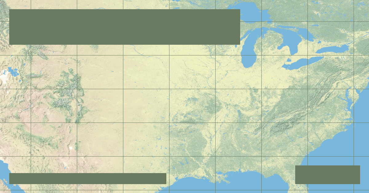
Interactive River Course Map
Geographical Overview & Course
The mainstem Mississippi is 3,766 km (2,340 mi). When combined with the longest tributary branch (Missouri-Jefferson), the total Mississippi-Missouri-Jefferson system reaches 6,275 km (3,902 mi).
Ecological & Environmental Significance
Key migration flyway for 40% of North America's waterfowl. The river delta marshlands protect Louisiana coastlines from hurricane storm surges.
Economic Importance, Navigation & Human Settlement
Carries over 500 million tons of freight annually, acting as the agricultural export artery for the United States grain belt.
Sources, Citations & Cartographic Methodology
- HydroSHEDS / HydroRIVERS Global River Database — Lehner, B. and Grill, G. (WWF & McGill University) (2019) • Access Source