River Thames: Cotswolds Spring to London Tideway, Teddington Weir & Estuary
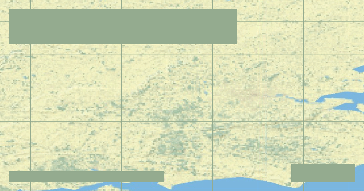
Rising in the Cotswolds at Thames Head, Britain's most famous river flows 215 miles through Oxford and central London, regulated by 45 lock weirs.
In-depth studies in river hydrology, fluvial geomorphology, transboundary water treaties, and cartographic analysis.
Rising in the Cotswolds at Thames Head, Britain's most famous river flows 215 miles through Oxford and central London, regulated by 45 lock weirs.
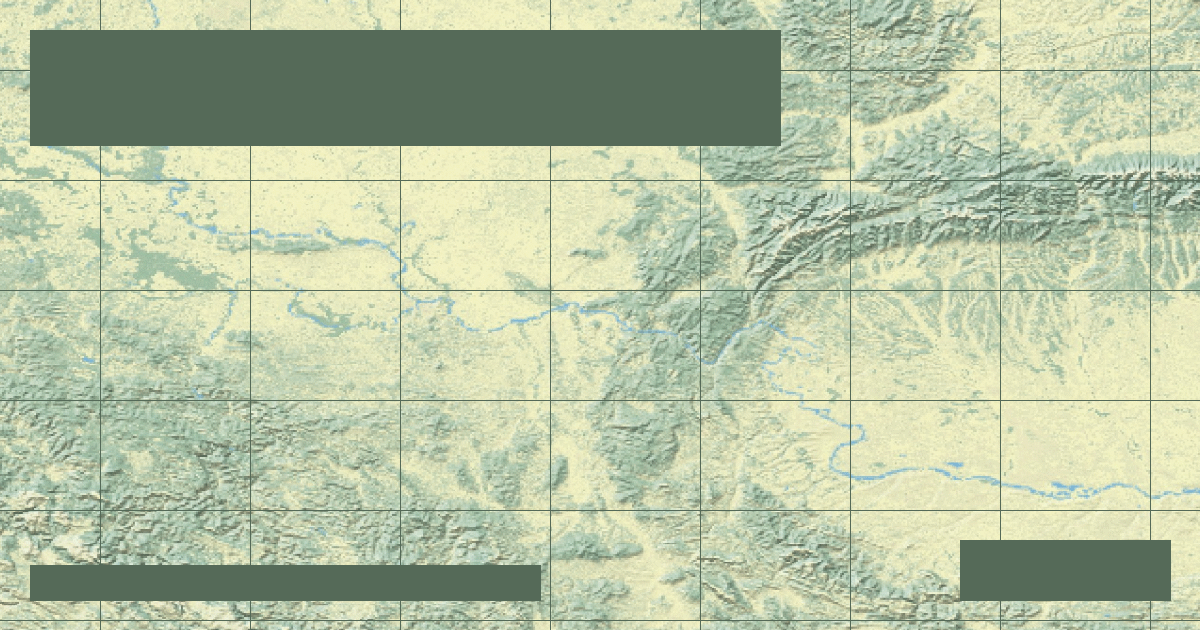
Flowing 1,770 miles across 10 European countries, the Danube cuts the dramatic Iron Gates gorge between Serbia and Romania before emptying into the Black Sea.
The 40-mile UNESCO Upper Middle Rhine Valley cuts through the Rhenish Slate Mountains, where steep schist terraces and the dangerous Bingen Reef challenged medieval navigation.
Flowing 483 miles from Dijon through the chalk plateaus of the Paris Basin, the Seine empties into the English Channel via an engineered deep-draft estuary.
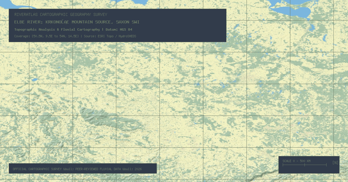
Sourced at 4,550 feet in the Czech Republic, the 680-mile Elbe carves monumental Saxon Switzerland sandstone pillars on its journey to Germany's mega-port of Hamburg.
At 625 miles, the Loire is France's longest river, renowned as the last wild river in Europe due to its shifting sandbars, braided channels, and absence of major dams.
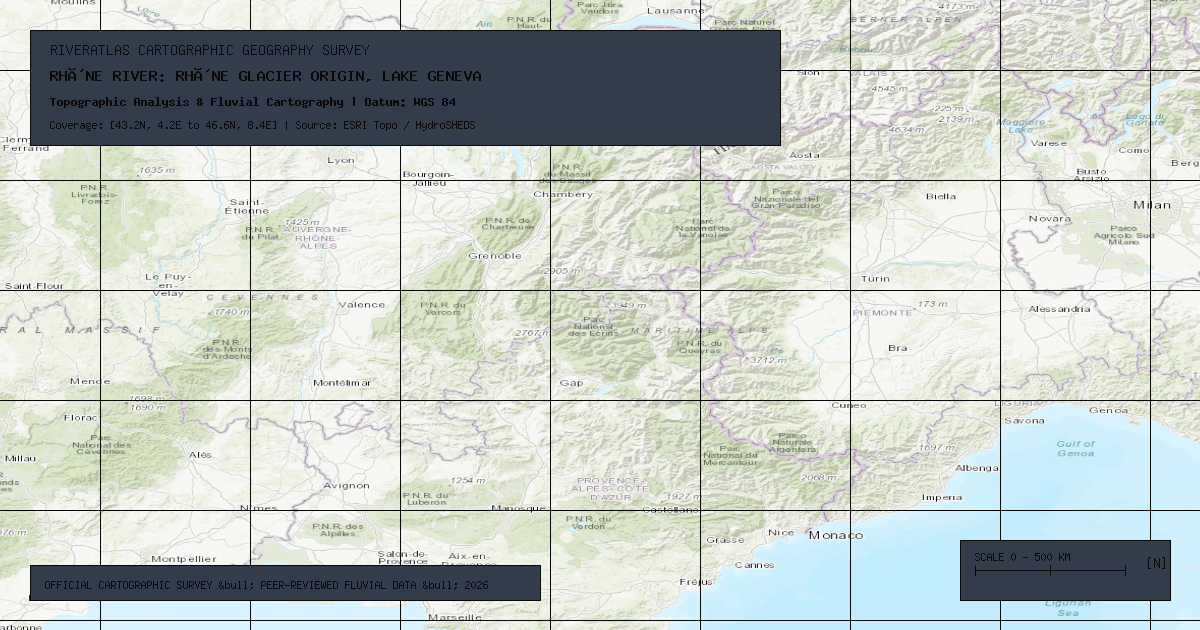
From the melting Rhône Glacier in the Swiss Alps, the 505-mile Rhône purifies its waters in Lake Geneva before terminating in the flamingos and salt marshes of the Camargue Delta.
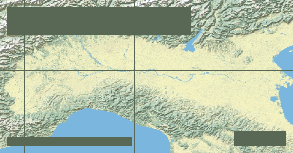
Italy's longest river flows 405 miles from Monviso to the Adriatic Sea, irrigating the Po Valley food bowl while suffering severe climate droughts and sea-level intrusion.
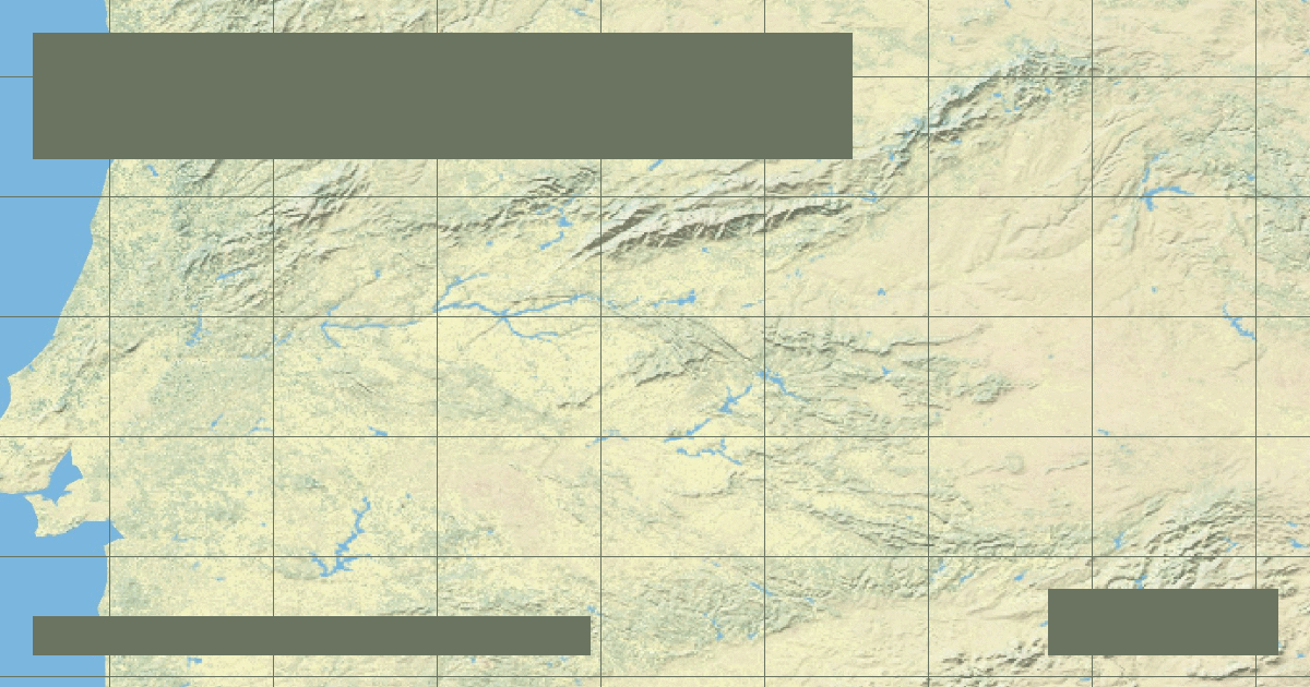
Stretching 626 miles from eastern Spain through deep granite gorges in Toledo, the Tagus expands into the majestic Mar de Palha estuary in Lisbon, Portugal.
The RiverAtlas uses essential cookies and local preferences to provide interactive cartography and analyze content usage according to our privacy guidelines.