How River Deltas Form: Arcuate, Bird-Foot, and Cuspate Coastal Geomorphology
A visual cartographer's guide to sediment deposition, wave energy equilibrium, and identifying the three principal deltaic landforms.
In-depth studies in river hydrology, fluvial geomorphology, transboundary water treaties, and cartographic analysis.
A visual cartographer's guide to sediment deposition, wave energy equilibrium, and identifying the three principal deltaic landforms.
How London protects 1.4 million residents and £321 billion in property from catastrophic North Sea storm surges using rotating steel gates.
How topographers delimit river catchment areas using digital elevation models (DEMs) and why drainage basins are the natural unit for environmental management.
Why measuring a river's precise length is far more complex than determining mountain heights, and how modern satellite telemetry has reopened the historic Amazon-Nile rivalry.
America's longest river spans 2,341 miles from Montana's Three Forks to St. Louis, driving Great Plains agriculture, six giant Pick-Sloan mainstem dams, and massive sediment transport.
Draining the Pacific Northwest, the Columbia River generates over 40% of US hydroelectric power through Grand Coulee and Bonneville while confronting severe anadromous salmon crises.
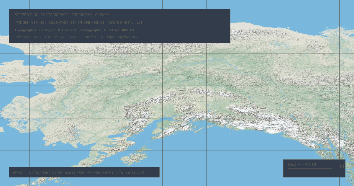
Flowing 1,979 miles through northwestern Canada and Alaska into the Bering Sea, the Yukon River represents one of the largest untamed sub-Arctic watershed ecosystems on Earth.
Spanning 1,896 miles from Colorado to the Gulf of Mexico, the Rio Grande / Río Bravo is heavily depleted by municipal and agricultural demands under bilateral 1944 water treaties.
Rising from Lake Tear of the Clouds at 4,293 feet to New York Harbor, the Hudson functions for 153 miles as a brackish tidal fjord shaped by ancient glaciation.
The RiverAtlas uses essential cookies and local preferences to provide interactive cartography and analyze content usage according to our privacy guidelines.