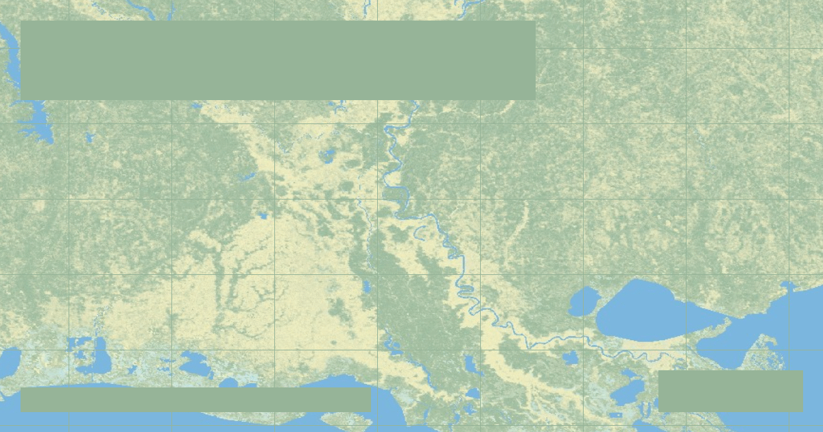
Why the Mississippi River Wants to Shift to the Atchafalaya: The Old River Control Structure
How the US Army Corps of Engineers fights physics and fluvial avulsion to prevent the Mississippi River from abandoning New Orleans and Baton Rouge.

In-depth studies in river hydrology, fluvial geomorphology, transboundary water treaties, and cartographic analysis.
How the US Army Corps of Engineers fights physics and fluvial avulsion to prevent the Mississippi River from abandoning New Orleans and Baton Rouge.
How London protects 1.4 million residents and £321 billion in property from catastrophic North Sea storm surges using rotating steel gates.
Draining the Pacific Northwest, the Columbia River generates over 40% of US hydroelectric power through Grand Coulee and Bonneville while confronting severe anadromous salmon crises.
Formed by the Allegheny and Monongahela in Pittsburgh, the 981-mile Ohio River contributes more volume to the Mississippi River than the Missouri, sustained by 20 modern lock and dam facilities.
Descending from 14,000-foot Colorado peaks to Arkansas floodplains over 1,469 miles, the Arkansas River powers one of America's premier interior industrial barge networks.
The Tennessee Valley Authority (TVA) transformed a 652-mile flood-prone river into America's most coordinated hydroelectric and flood control reservoir chain.
The inverted delta where California's two largest rivers merge supplies drinking water to 27 million residents while facing severe seismic and subsidence risks.
The 1999 explosive breaching of Edwards Dam on Maine's Kennebec River ignited the modern global dam removal movement, restoring historic alewife runs.
Second only to the Amazon in South America, the 3,030-mile Paraná hosts the colossal Itaipu Dam, which submerged the legendary Guairá Falls under its reservoir.
The RiverAtlas uses essential cookies and local preferences to provide interactive cartography and analyze content usage according to our privacy guidelines.