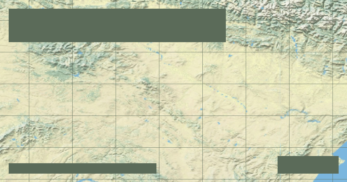
Douro River: Steep V-Shaped Schist Terraces, Port Wine Valley & Atlantic Mouth
Flowing 557 miles across northern Portugal and Spain, the Douro carves microclimatic schist slopes that produce Port wine before meeting the Atlantic at Porto.
In-depth studies in river hydrology, fluvial geomorphology, transboundary water treaties, and cartographic analysis.
Flowing 557 miles across northern Portugal and Spain, the Douro carves microclimatic schist slopes that produce Port wine before meeting the Atlantic at Porto.
Rising from the Shannon Pot karst spring, Ireland's 224-mile river meanders through vast raised peat bogs to power the historic 1929 Ardnacrusha hydroelectric scheme.
At 220 miles, the Severn features the second-highest tidal range on Earth, generating the world-famous Severn Bore—a surging tidal wave that travels 25 miles upstream.
Draining 54% of Poland's landmass over 651 miles, the Vistula flows from the Carpathian Beskids past Warsaw and Kraków to the Baltic Sea's Bay of Gdańsk.
Spanning 1,368 miles through Russia, Belarus, and Ukraine, the Dnieper features six colossal hydro reservoirs, including the Dnipro Hydroelectric Station.
Forming the border between Poland and Germany for 116 miles, the 522-mile Oder flows into the brackish Szczecin Lagoon, nurturing vulnerable riverine marshes.
Sourced from the slopes of Mount Fumaiolo, the 252-mile Tiber nurtured the Roman Empire, infamous for catastrophic historic floods before modern travertine embankments.
Flowing 106 miles through Glasgow to the Firth of Clyde, this river was deepened from a knee-deep stream by civil engineering dredging to become the shipyard of the British Empire.
The 578-mile Ebro discharges more water than any river in Spain into the Mediterranean, but upstream impoundments have caused the Ebro Delta to starve of sediment and sink.
The RiverAtlas uses essential cookies and local preferences to provide interactive cartography and analyze content usage according to our privacy guidelines.