
Colorado River
Alternative / Indigenous / Local Names: Río Colorado
The defining ecological and municipal lifeline of the American Southwest, carving the Grand Canyon and supplying water to 40 million people.
Verified Geographic & Hydrological Profile
ID: RVR-0015- Official Length
- 2,330 km (1,450 miles)
- Drainage Basin
- Colorado River Basin (640,000 km²)
- Average Discharge
- 640 m³/s (22,601 cu ft/s)
- Source / Headwaters
-
La Poudre Pass, Rocky Mountains (Colorado, USA)
(Elevation: 3,101 m / 10,174 ft)
Coords: 40.4789°, -105.8197°
- Mouth / Outflow
-
Gulf of California (Baja California, Mexico)
Coords: 31.8150°, -114.7950°
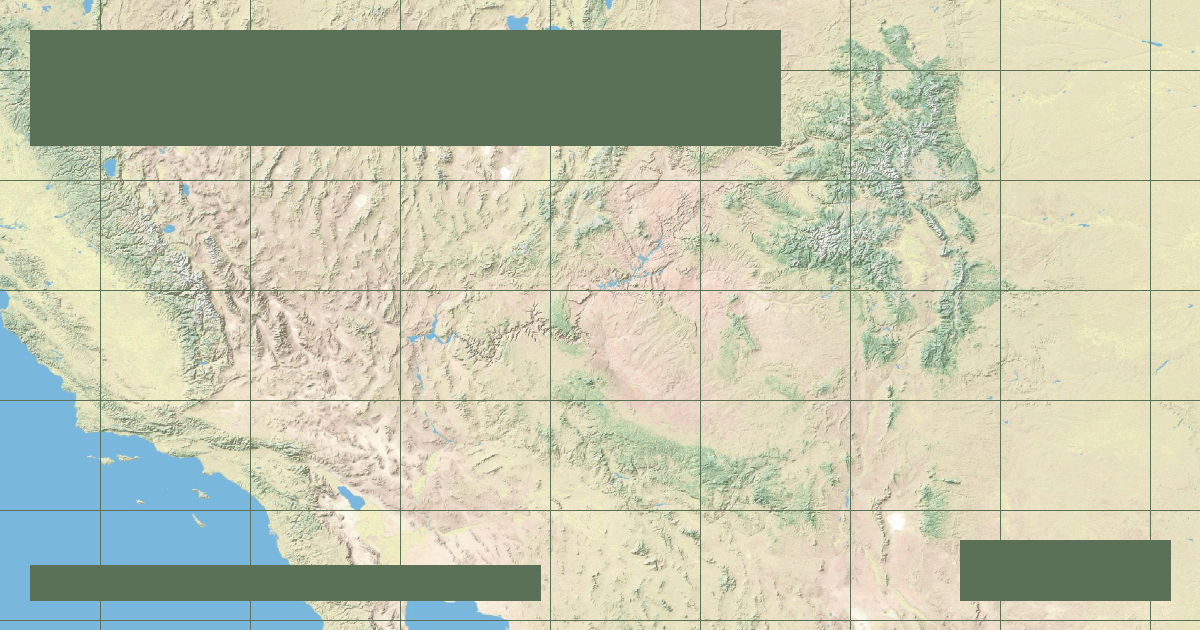
Interactive River Course Map
Geographical Overview & Course
Length established by USGS surveys. The river rarely reaches its maritime delta in Mexico due to complete upstream agricultural and municipal withdrawal.
Ecological & Environmental Significance
Home to endemic desert fish species including the endangered humpback chub and Colorado pikeminnow, adapted to warm sediment-heavy canyon water.
Economic Importance, Navigation & Human Settlement
Supports the Imperial Valley agricultural belt and generates hydropower at Hoover Dam (Lake Mead) and Glen Canyon Dam (Lake Powell).